Orienteering: finding your way
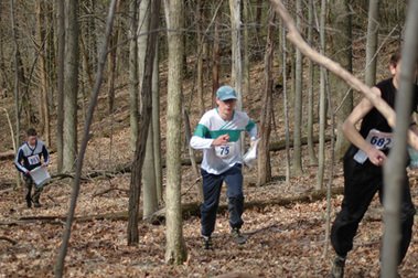
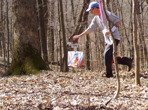
I have always been attracted to all things outdoors, but this sport has satisfied my spirit of adventure ever since my first event back in 1991. After a few years of learning and practice, I was asked to instruct some beginners. I enjoyed teaching others about the art of forest navigation so much that I decided to teach my middle school science students. After practicing at school with map and compass, we took a field trip to the Kendall Lake area of the Cuyahoga Valley National Park. With parents carefully guarding the exit trails, 150 students used their maps to search field and trail for bright orange and white flags. Some reported that this was the best field trip they were ever on!
As I grew in the sport, I began to make corrections to our club's maps. This eventually led to the creation of new maps at Quail Hollow, Walborn Reservoir, Camp Tuscazoar and Oak Hill. It's strange where life leads you, but I'm glad to be involved in an activity that creates such a wonderful interface between the natural world and the mental, physical and social aspects of life.
After 35 years of teaching and coaching a Science Olympiad team, I have not given up on my desire to teach others to find their way.
Schoolyard Adventures is the vehicle I'm using to accomplish this. I build challenging and fun activities for folks fifth grade through adult. Classrooms, playgrounds, parks and the forest are all fair game.
I am able to produce highly accurate orienteering maps using GPS, aerial photos and LiDAR for contour mapping. I draw using OCAD, a digital cartography program. Although I have completed a number of large areas, my focus is on smaller areas such as parks and school sites. If desired, students can be a part of the mapping process. Because my maps are in digital format, corrections can easily be made to keep them up-to-date.